In Manchester, many of the hillside developments we see sit on legacy glacial till and colluvial deposits left after the last ice age. These materials can mobilise rapidly during intense rainfall, especially where drainage has been altered by urbanisation. That is why we always start a debris flow analysis with a detailed site walkover, looking for evidence of past events like scarps, tilted trees, or sediment fans. We then combine this field data with numerical modelling to estimate runout distance, velocity, and impact force. Before finalising the model, we often run a permeability field test to confirm infiltration rates, which directly affect pore pressure build-up during storms. Our approach follows BS 5930 and Eurocode 7, ensuring every recommendation is defensible under UK building control.
A single debris flow event can move thousands of cubic metres of material in minutes. Our analysis quantifies that risk before you break ground.
Scope of work in Manchester
- Desk study reviewing historical landslide records from the BGS and local council archives
- Field mapping of source zones, transport paths, and deposition areas
- Laboratory testing of soil index properties and shear strength on disturbed samples
Critical ground factors in Manchester
The climate in Manchester is wetter than the UK average, and winter storms are becoming more intense. That combination saturates the shallow soils on the city’s eastern slopes, reducing effective stress and triggering failures. A debris flow analysis here must account for rapid changes in groundwater level — we often install standpipes and data loggers to monitor this in real time. Ignoring the risk can lead to blocked culverts, damaged retaining walls, and even structural collapse. We have seen cases where a small flow blocked a road, cutting off access to a new housing site for weeks. Our reports flag these hazards clearly so mitigation can be designed before construction starts.
This service complements our laboratory testing work for a complete project analysis.
Our services
We break down our debris flow analysis into three service tiers, each matched to project scale and regulatory stage.
Preliminary Hazard Screening
A rapid desktop review of topographic maps, rainfall data, and historical landslide records. Outputs include a hazard matrix and a priority map for field inspection. Ideal for early feasibility studies.
Detailed Runout Modelling
Numerical simulation using FLO-2D or RAMMS to predict flow path, depth, and impact pressure. We run scenarios for 1-in-30, 1-in-50, and 1-in-100 year storms. Results are delivered as GIS layers and cross-sections.
Mitigation Design Support
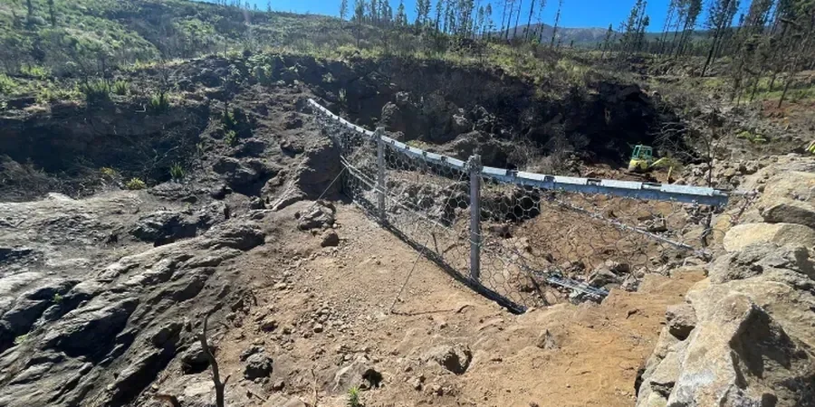
We translate model outputs into engineering solutions: check dams, debris basins, or reinforced slope armouring. Our team coordinates with structural engineers to size barriers and drainage systems to withstand the calculated loads.
Quick answers
What triggers a debris flow on the Pennine slopes around Manchester?
Most flows are triggered by prolonged rainfall that saturates the glacial till or colluvium. Once pore water pressure exceeds the soil's shear strength, the mass loses internal friction and begins to move. Steep gradients above 15 degrees and poor vegetation cover also increase susceptibility.
How much does a debris flow analysis typically cost in Manchester?
For a standard residential site our fee ranges between £1,050 and £3,250, depending on catchment size and the level of modelling required. Complex sites with multiple catchments or high consequence levels may fall above that range — we provide a fixed quote after the initial scoping call.
Do I need a debris flow analysis if my site is not on a steep slope?
Yes, because debris flows can travel long distances from their source. Even a gently sloping fan at the base of a hill can receive fast-moving material from a steeper catchment upstream. The analysis identifies the hazard regardless of the building plot's own gradient.