Driving down Princess Road past Moss Side, you cross glacial till left by the Devensian ice sheet, while over in Didsbury the old river terraces of the Mersey drop into laminated silts and sands. That geological patchwork makes Manchester a prime candidate for GPR survey before any excavation. On one project near the Etihad Campus, we mapped a network of abandoned Victorian culverts that no utility plan showed. A resistivity survey can complement this where conductive clay masks deeper targets, and for granular backfills we often cross-check readings with cone penetration testing to confirm stratigraphy. The key advantage of GPR in Manchester is speed: you get real-time data without breaking tarmac or risking a gas strike.
GPR survey located a 1.2 m void beneath a loading bay in Trafford Park that no other method had detected.
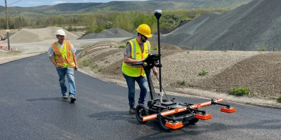
Scope of work in Manchester
- Utility detection (gas, water, telecoms) down to 3 m using 400 MHz antennas
- Void and sinkhole mapping in collapsible fill, common around old mill foundations
- Rebar depth and cover in concrete slabs, critical for coring and cutting
Critical ground factors in Manchester
A common mistake we see on Manchester sites is relying solely on utility records from the old Local Authority archives. Those drawings stop at the property boundary and rarely show private drains, disused sewers, or forgotten cable routes from the 1960s. One contractor hit a 33 kV cable in Salford because the print showed nothing there. Our GPR survey caught it at 1.1 m depth. Without it, the repair bill would have run into six figures and shut down the street for a week. The risk is real: urban fill often contains unexpected metallic debris that mimics a service signature.
This service complements our laboratory testing work for a complete project analysis.
Our services
We offer two standard GPR survey packages tailored to Manchester's varied ground conditions and project scales.
Utility Mapping & Void Detection
Full site scan with 400 MHz and 800 MHz antennas. Locate buried pipes, cables, tanks, and voids in real time. Deliverable includes CAD-referenced plan and depth table. Typical coverage rate: 1 000 m² per day.
Structural GPR (Concrete Scanning)
High-frequency (1.6 GHz) survey of slabs, walls, and columns. Map rebar spacing, cover depth, post-tension cables, and ducts. Ideal before core drilling or cutting openings in reinforced concrete structures.
Quick answers
What depth can GPR reach in typical Manchester soils?
In dry sands and gravels (common around the Mersey valley) we achieve 3–4 m depth. In clay-rich glacial till, which covers much of north Manchester, penetration drops to 1–1.5 m. Conductive clays absorb the radar signal rapidly, so we adjust antenna frequency accordingly.
How long does a GPR survey in Manchester take?
A standard utility survey on a 0.5 ha site takes 1–2 days on site plus another day for data processing and reporting. Concrete scanning is faster: a 100 m² slab is typically completed in half a day. We deliver preliminary findings verbally on site.
Can GPR detect plastic pipes and clay drains?
Yes, but with limitations. Plastic pipes are visible only if there is a contrast in dielectric permittivity with the surrounding soil. Water-filled plastic pipes show clearly; empty ones are harder to see. Clay drains are usually detectable to 1.5 m depth in dry ground.
Do I need to clear the site before a GPR survey?
We prefer a clear surface – no parked cars, stored materials, or heavy vegetation. Rebar mesh in concrete does not need removal, but thick asphalt (over 150 mm) can reduce signal penetration. We scan through grass, tarmac, concrete, and soil equally well.
How much does a GPR survey in Manchester typically cost?
For a typical utility survey on a 0.5 ha site, expect between £6.940 and £950 depending on access, antenna selection, and reporting detail. Concrete scanning is priced per square metre. Contact us for a fixed quote based on your specific scope.